
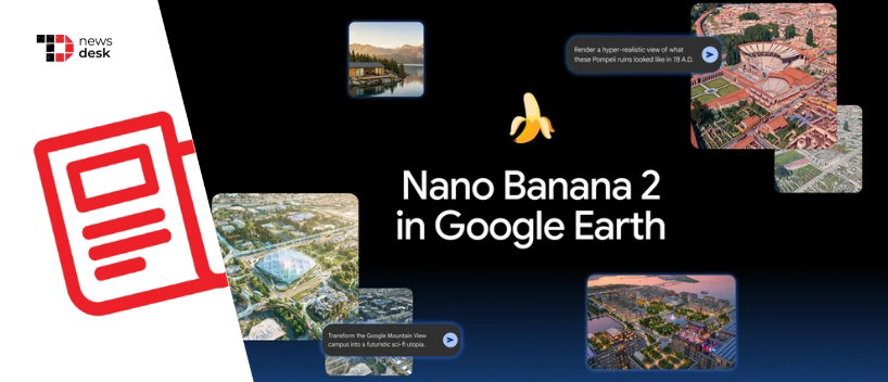
Google Earth Adds Nano Banana 2 Image Generation Worldwide On July 30
Google is bringing generative AI directly into Google Earth, allowing web users worldwide to create synthetic images based on real-world locations using its Nano Banana 2 model, beginning July 30, 2026.
TL;DR
- Google Earth has added Nano Banana 2 image generation worldwide on the web.
- Users can select a real-world location and prompt AI to reimagine the scene.
- The results are synthetic creations, not new or real-time satellite photographs.
- Google uses SynthID and C2PA-based provenance tools to help identify AI-generated media.
Google Earth is moving beyond letting users explore the planet and is beginning to let them creatively reinterpret it.
The new feature enables users to navigate to a location in Google Earth, access the image-creation option and enter a text prompt describing how they want the place to appear. The update is rolling out worldwide through the Google Earth web experience, although it is not currently available through its mobile apps or Google Earth Pro desktop software.
The feature is powered by Nano Banana 2, officially known as Gemini 3.1 Flash Image. Google introduced the model in February 2026 as a faster image-generation and editing system that combines Gemini Flash performance with the reasoning, visual quality and world knowledge offered by Nano Banana Pro.
Nano Banana 2 can use Gemini’s real-world knowledge and information retrieved through web search to render specific subjects more accurately. Google also says the model delivers stronger instruction following, sharper details, improved text rendering and greater consistency when maintaining subjects across multiple generations.
Naina Raisinghani, Product Manager at Google DeepMind, described Nano Banana 2 as Google’s “latest state-of-the-art image model” when the company introduced it.
Google Earth Becomes A Creative AI Canvas
Google Earth already combines satellite imagery, aerial photography, 3D terrain, buildings, geographic information and Street View content. The new generative tool turns that location data into a starting point for creating an entirely new visual rather than requiring users to describe a place from scratch.
This could help users visualize fictional skylines, historical interpretations, futuristic developments, architectural concepts or environmental changes around recognizable locations. However, the results should be treated as creative AI-generated content rather than reliable planning data or documentary imagery.
Google clarifies that the imagery displayed in Google Earth is collected over time and is not presented in real time. The new AI output adds another layer of separation from reality because it generates a synthetic interpretation based on the prompt.
The update also differs from Google Earth’s professional Gemini capabilities, which are designed to analyze geospatial information, answer questions and identify patterns or objects within satellite imagery. Those tools target areas such as urban planning, construction, transportation, real estate and environmental monitoring.
Topics For More Insights
Google Expands AI Image Identification
As image-generation tools become more widely integrated across its products, Google is also expanding the technology used to identify synthetic media.
The company combines its SynthID technology with C2PA Content Credentials to provide information about whether AI was used and how an image was created or modified. Google said its SynthID verification feature had been used more than 20 million times across images, videos and audio since its launch in November 2025.
The Google Earth launch adds another major product to Nano Banana 2’s growing footprint, which already includes Gemini, Google Search, Lens, Flow, advertising products and enterprise AI platforms.
